A yield map can tell you where performance dropped, but it can’t always tell you why. That’s the part that can get frustrating. A weak zone on the map may look clear enough, yet the field may be dealing with repeated wetness, poor trafficability, delayed timing, or hidden subsurface movement. Farm drainage services start making more sense when you need answers that go beyond what the data alone can show.
Drainage decisions usually get clearer when yield data is read alongside field conditions, water patterns, and how the soil behaves from one season to the next.
Reality: Yield Maps Show Results Over Reasons
A yield map can spotlight the weak zones in a field, but it doesn’t always explain what put them there. A low-performing pocket might be tied to moisture stress, compaction, delayed field activity, or several issues stacking on top of each other. That’s why numbers alone can only take you so far.
Good field decisions need context.
When you read yield data with a little caution instead of treating it like the whole verdict, you start seeing the difference between a result on the map and the real drainage story underneath it.
Also Read: How Field Tilling Reduces Soil Compaction in Minnesota Farms
Wet Pockets and Traffic Patterns Tell a Different Part of the Story | Farm Drainage Services
A yield map won’t always rat out the field habits that keep showing up year after year. Sometimes the bigger clues look more like:
- spots where water hangs on too long
- passes equipment keeps avoiding
- areas that stay soft when the rest of the field moves
- patches that slow down spring or harvest decisions
That kind of ag pattern matters. Wet pockets and poor trafficability can start shaping management choices long before the yield map shows the full penalty. The field usually starts talking first. The map just shows up later with receipts.
Subsurface Water Movement Does Not Always Show Up on the Map
A low-performing area on the map may be telling you something real, but it still may not show how water is moving below the surface. Drainage layout, soil structure, and underground flow patterns can all shape performance long before the full picture becomes obvious in yield data.
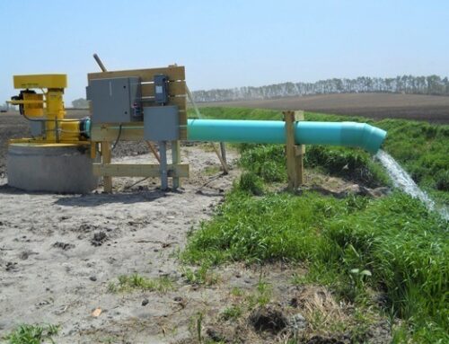
In agriculture, that matters because better decisions often depend on stronger agricultural water management, not just better recordkeeping. Sometimes the field is signaling a drainage issue the map can only hint at, not fully explain.
Better Drainage Decisions Happen When Data Meets Field Reality | Farm Drainage Services
Yield maps are useful, but they work better as part of the conversation, not the whole answer. Stronger drainage decisions usually come from pairing the data with what the field is showing you in real time. That may include:
- GPS surveying and mapping
- field testing and inspections
- troubleshooting recurring problem areas
- custom drainage design options
That is why farm drainage services can be a smart next step when the map keeps raising questions the field still hasn’t fully answered. The clearer the evaluation, the better the drainage decision tends to be.
Let the Field Story Go Beyond the Map
Yield maps matter, but stronger decisions usually happen when the data is backed by field experience and technical evaluation.
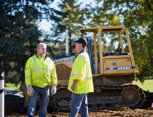
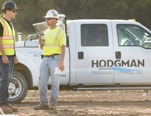
With farm drainage services, we help growers across southern and western Minnesota and surrounding areas with ag drainage, drainage design, inspections, GPS mapping, directional drilling, and underground solutions. Hodgman Drainage Company, Inc. has served the region since 1982 with experienced crews and custom-fit solutions.
Call 507.528.2225 and let’s take a closer look at what your field is really showing.