You may know there’s tile somewhere, an outlet somewhere else, and one problem area that keeps making a dramatic comeback. Sadly, ‘somewhere’ isn’t much of a drainage plan. A farm drainage company in MN can use GPS mapping to make what’s underground easier to see, discuss, and plan around.
GPS mapping doesn’t replace field experience. It helps organize what crews observe, what older records show, and what the next drainage decision needs before work begins.
Mapping Turns Field Memory Into Usable Records
GPS mapping supports farm drainage planning by turning underground drainage details into records farmers and crews can use later. Many fields carry a mix of memory, old notes, previous-owner guesses, and ‘I think the line runs over there’ information.
Mapping can help document outlets, mains, laterals, previous repairs, wet areas, grade changes, and project history. Because after enough seasons, ‘near the old fence line’ can mean three different places and start a family argument.
Also Read: Why Directional Drilling is Better for Tight Job Sites
Better Maps Help Plan Better Drainage Layouts
We can use GPS data to support layout decisions, grade planning, tile placement, and outlet review before equipment gets to work. That added field detail helps our crew understand slope, field shape, existing drainage, and recurring problem areas earlier in the planning process.
Better maps don’t promise a magic fix, because fields love being complicated. They do help reduce guesswork when you’re comparing repair, expansion, or new drainage options with a farm drainage company in MN.
GPS Records Can Make Future Repairs Less Painful
Future drainage work gets easier when tile lines, previous fixes, outlets, and drainage structures aren’t a mystery. GPS records can help crews locate the right area faster instead of hunting across the field like the tile line is playing hide-and-seek.
In ag work, good records can save time when every field day already has a job. They also support maintenance, inspections, troubleshooting, and better drainage conversations later.
What GPS Mapping Can Help Identify | Farm Drainage Company in MN
A mapped drainage record gives you something easier to review than memory, guesses, or ‘somewhere over there’ field wisdom. GPS mapping can help document:
- Existing tile lines and outlet locations
- Mains, laterals, and drainage structures
- Previous repair areas
- Wet spots or recurring problem zones
- Field grades and layout changes
- Areas that may need future drainage expansion
That kind of clarity makes planning conversations much less muddy.
Strong Planning Starts Before Equipment Hits the Field | Farm Drainage Company in MN
Before installation, repair, or expansion, better field information can help shape a cleaner drainage plan. Guesswork gets expensive fast when underground lines, grades, outlets, and problem areas aren’t clearly understood.
We can pair GPS mapping with on-site evaluation, field history, and your drainage goals. Working with a farm drainage company in MN helps you compare options, understand the scope, and ask sharper questions before committing to the next move.
Map the Field Before You Make the Next Drainage Move
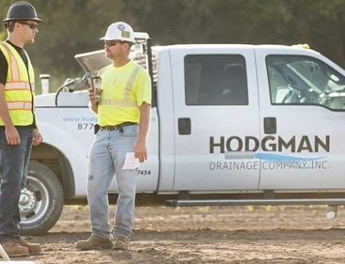
If you’re planning new drainage, trying to document existing tile, or staring at blank spots in the field record, our team can help make the next step clearer. Hodgman Drainage has served farmers and landowners since 1982, bringing Midwest ag drainage experience, trained staff, and modern equipment to the planning process.
We provide GPS surveying/mapping, drainage design, installation, tile repair, inspections, troubleshooting, and preventative maintenance.
Bring us the field history, problem areas, or missing details, and we’ll help turn them into a clearer drainage plan at (507) 528-2225.